
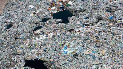
A floating and rotating ‘garbage island’ of an estimated area of 1.6 million square kilometres lies between Hawaii and California, according to a scientific estimate published in 2018. The area of the island is said to be larger than Para and nearly three times the size of metropolitan France. What exists here is a plastic world consisting of nets, ropes, buoys, containers, fragments and a massive amount of microplastics.
The garbage island
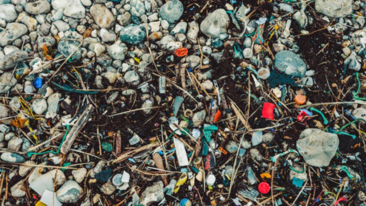
According to the National Oceanic and Atmospheric Administration (NOAA), the debris is scattered across a vast stretch of the surface and the top of the water column in concentrations that differ based upon lookout points.
While called an island, the Great Pacific Garbage Patch is not a continent made up of waste. According to the National Oceanic and Atmospheric Administration (NOAA), the debris is scattered across a vast stretch of the surface and the top of the water column in concentrations that differ based upon lookout points. Thus, a vessel may traverse part of this region and find little visible debris. Many items are small fragments, dispersed among waves and organisms, and the edges of the patch shift with currents and winds.The most cited calculation about the garbage island emerged from a 2018 research published in the journal Scientific Reports. The team combined 652 surface tows conducted by vessels, aerial imagery, and ocean circulation models. The study estimated 1.8 trillion plastic pieces, with a range between 1.1 trillion and 3.6 trillion, and a central mass close to 79 thousand tons, within a zone of 1.6 million km².Among the items carrying identifiable origin markings, five countries dominated: Japan, China, South Korea, the United States and Taiwan. The authors noted that these are not the countries usually named in assessments of land-based plastic leakage into the ocean. They are major North Pacific fishing nations.This area is approximately 28% larger than Pará, which has an estimated area of about 1.246 million km² according to territorial data from IBGE compiled by the Amazon Foundation for the Advancement of Studies and Research. In European terms, 1.6 million km² is about three times the size of metropolitan France, depending on the territorial reference used.
How does the island form?
The concentration forms in the North Pacific Subtropical Gyre, a vast circulation system driven by the interaction between winds, Earth’s rotation and currents. Floating materials transported by the ocean tend to converge in certain areas of the gyre, where they can remain circulating for prolonged periods. This does not mean that all plastic dumped on the planet ends up in this location. Many waste materials get stranded on beaches, sink, remain close to shore, or follow different routes. However, a portion of the materials that continue to float reaches the gyre and finds favourable conditions for accumulation between the Hawaiian archipelago and the California coast.Within the island, the research shows two realities. Microplastics, defined in the study as fragments measuring between 0.5 millimetres and 5 millimetres, accounted for about 94% of the estimated pieces but only 8% of the mass. In contrast, objects larger than five centimetres represented more than three-quarters of the calculated weight.As per the findings, fishing nets accounted for at least 46% of the total estimated mass. Lines, ropes and nets also occupied a significant portion of the weight of the collected materials. A later study published in 2022 analysed plastic objects larger than five centimetres and concluded that between 75% and 86% of the mass in this size range could be linked to abandoned, lost, or discarded fishing gear. At the same time, packaging, caps, boxes, utensils, and other land-based waste also reach the sea through improper disposal, runoff, rivers, and coastal activities.
Threatening marine life
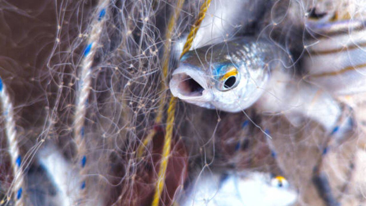
According to the NOAA Marine Debris Program, animals may confuse plastic with food or ingest fragments along with natural prey.
The impact of the debris does not only affect the water. According to the NOAA Marine Debris Program, animals may confuse plastic with food or ingest fragments along with natural prey. More than 700 species have been documented consuming plastic in various marine environments, according to a review cited by the agency.Lost nets and lines create another risk: they continue to capture animals even without human control, a phenomenon known as ghost fishing. Turtles, birds, fish, and marine mammals can also become entangled in ropes, loops, and other objects.The 2018 survey concluded that the concentration of plastic within the region was increasing at a faster rate than in the surrounding waters and pointed to an exponential growth trend since measurements began in the 1970s. More recent research continues to work with scenarios of continuous waste input. A model published in March 2026 assessed annual mass growth rates between 1% and 3% for plastics larger than 1.5 centimetres, along with scenarios of fragmentation and reduction of sources.Ocean cleanup projects utilise floating barriers to concentrate larger debris and transfer it to vessels. Between August 2021 and November 2024, operations analysed in the 2026 study removed 372.7 tons during 72 collection periods used to calibrate the model; considering all phases tested since 2018, the total reported in the article reached about 504 tons by the end of 2024.The 2026 study reached a central conclusion: isolated cleanup may hit a limit if plastic input continues greater than the amount removed. Similarly, cutting new emissions does not automatically remove the old stock, which continues to fragment. Reducing sources and recovering part of the legacy must occur in a combined manner.